|


| |
Mt.
Rogers National Recreation Area
October
14-15 2000
| What a beautiful
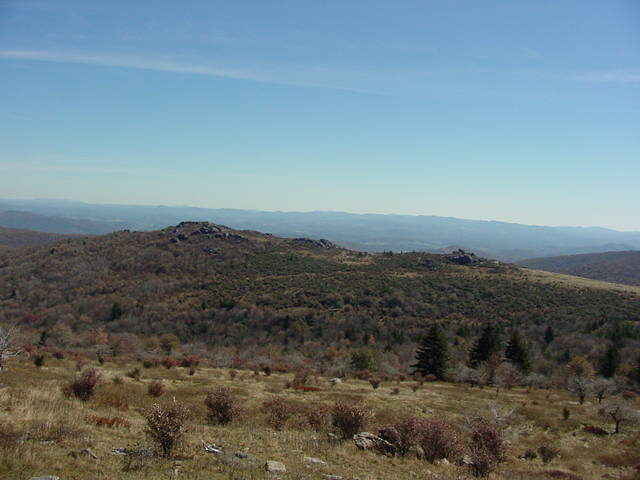
weekend for a fall trip!! Mt. Rogers National Recreation are is
located in far southwest Virginia between the towns of Marion and
Damascus. The area is named for Mt. Rogers, the highest mountain in
Virginia. |
 |
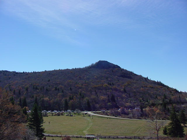 |
The trip started
out under clear blue skies and with an air temperature of almost 60
degrees. The start of the circuit that we did was at Massie's Gap,
which is in Grayson Highlands State Park. The park is very scenic
and very beautiful. There is plenty of parking and one generally
feels safe leaving the car here. The only caveat: this is the most
popular entrance to Mt. Rogers. |
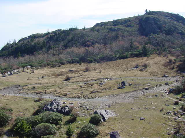
| After entering
the high country, most of the crowd starts thinning out. Most people
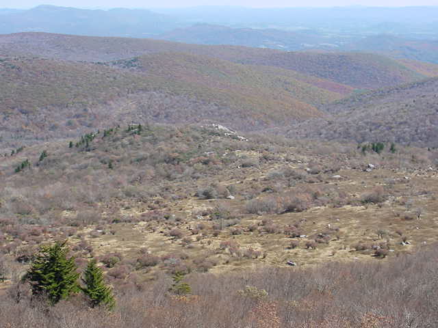
visit Grayson Highlands and Mt. Rogers National Recreation area just to
get to the "Crest Zone", an area that is devoid of trees and is
maintained in that way for periodic burns by the Forest Service. |
 |
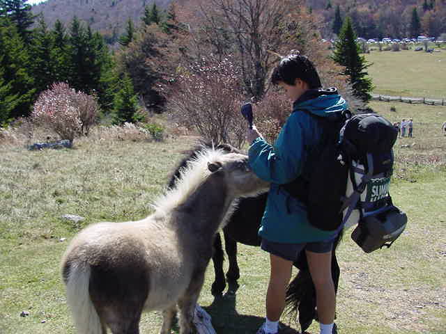 |
There are wild
ponies in the Crest Zone. They are remnants of stock that was
historically allowed to roam and browse. They are very gentle and
surprisingly photogenic. The official policy of Grayson Highlands
State Park is that visitors should not approach or pet the ponies. |
| It is
approximately 2.7 miles by one of three trails from Massie's Gap in
Grayson Highlands State Park to the aptly named Rhododendron Gap in Mt.
Rogers National Recreation Area. The three trails that reach the gap
are the Appalachian Trail, the Wilburn Ridge Trail and the Virginia
Highlands Horse Trail. Rhododendron Gap is so named because of the
density of Rhododendron Blooms in summer. It is also a landmark of
the Crest Zone where there is a choice of going down the Pine Mountain
Trail towards Old Orchard or taking the Appalachian Trail to the summit of
Mt. Rogers. |
 |
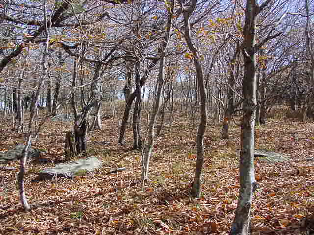 |
The trail to the
Old Orchard Shelter is very easy. Our group chose to follow the Pine
Mountain Trail to cut a corner off of the Appalachian Trail and rejoin the
AT closer to Old Orchard. |
More to Come!! Please hold tight!!
Mark Dominesey
Muskeg@LostWater.com
|